Ellijay Community Staff
West of Ellijay, where the Coosawattee River cuts out of the mountains, the land drops away into one of Georgia’s most striking bodies of water. Carters Lake is often called the deepest lake in the state, and it sits behind the tallest earthen dam east of the Mississippi River. Ringed almost entirely by national forest and with virtually no private development on its shoreline, it feels wilder and clearer than most Georgia reservoirs.
- Depth: Often cited as Georgia’s deepest lake, around 450 feet at its deepest
- The dam: Carters Dam, about 445 feet high — the tallest earthen dam east of the Mississippi
- Size: Roughly 3,200 acres of surface water
- River: Impounds the Coosawattee River
- Managed by: The U.S. Army Corps of Engineers
A dam built for power and flood control
Carters Lake is young by reservoir standards. The U.S. Army Corps of Engineers built Carters Dam in the early 1970s, and the project came online mid-decade for hydroelectric power and flood control on the Coosawattee. It’s a pumped-storage facility: at times water is actually pumped back up from a smaller reregulation lake below the dam to be used to generate power again at peak demand. The earthen embankment that makes all this possible is the tallest of its kind east of the Mississippi.
On the water
Because the Corps owns and protects the shoreline, there are no private docks or lakefront houses crowding the water — just forest down to the waterline. Public boat ramps and a marina put you on the lake for skiing, paddling, or a quiet cruise, and the clarity and depth make it a favorite with anglers. Several developed recreation areas around the lake offer day-use access, swimming, and picnic spots.
The deep, clear water holds spotted and largemouth bass, walleye, crappie, bream, and catfish, and the lake has a strong reputation for bass fishing in particular. Its depth means fish hold at different levels through the seasons, which is part of what makes Carters a rewarding lake to learn.
Camping and trails
Around the lake, the Corps and the Forest Service maintain campgrounds and a network of hiking and mountain-biking trails, including paths to overlooks above the water. Add the undeveloped, forest-rimmed shoreline and the mountain backdrop, and Carters Lake feels less like a power project and more like one of North Georgia’s best-kept outdoor secrets — all within a short drive of downtown Ellijay.
- Surface area: ~3,200 acres · Max depth: ~450 ft
- Dam height: ~445 ft, tallest earthen dam east of the Mississippi
- Shoreline: almost entirely undeveloped national forest
- Top catches: spotted & largemouth bass, walleye, crappie, bream, catfish
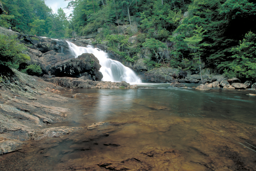
Cover photo: Carters Lake, by Thomson M via Wikimedia Commons / Panoramio (CC BY 3.0). Sources include the U.S. Army Corps of Engineers (Mobile District), the U.S. Forest Service, Georgia DNR, and Explore Georgia.
About the author
Ellijay Community Staff
Local history, news, and happenings from the team at the Ellijay Georgia Community Website.
Comments
Sign inas a community member to join the conversation. It's free!
Own a local business?
Get your business in front of Ellijay Georgia readers. Free ad design · No contracts · Call or text 24/7: (813) 437-1676